
Conservation as Flood Protection: A Letter from Our Executive Director
Dear Skagit Land Trust Members,
Our hearts go out to all those who suffered damages from flooding in the Skagit this past year. Many thanks to County staff, local residents, fire districts, dike districts, and the Army Corps of Engineers, all of whom worked hard behind the scenes to protect our community.
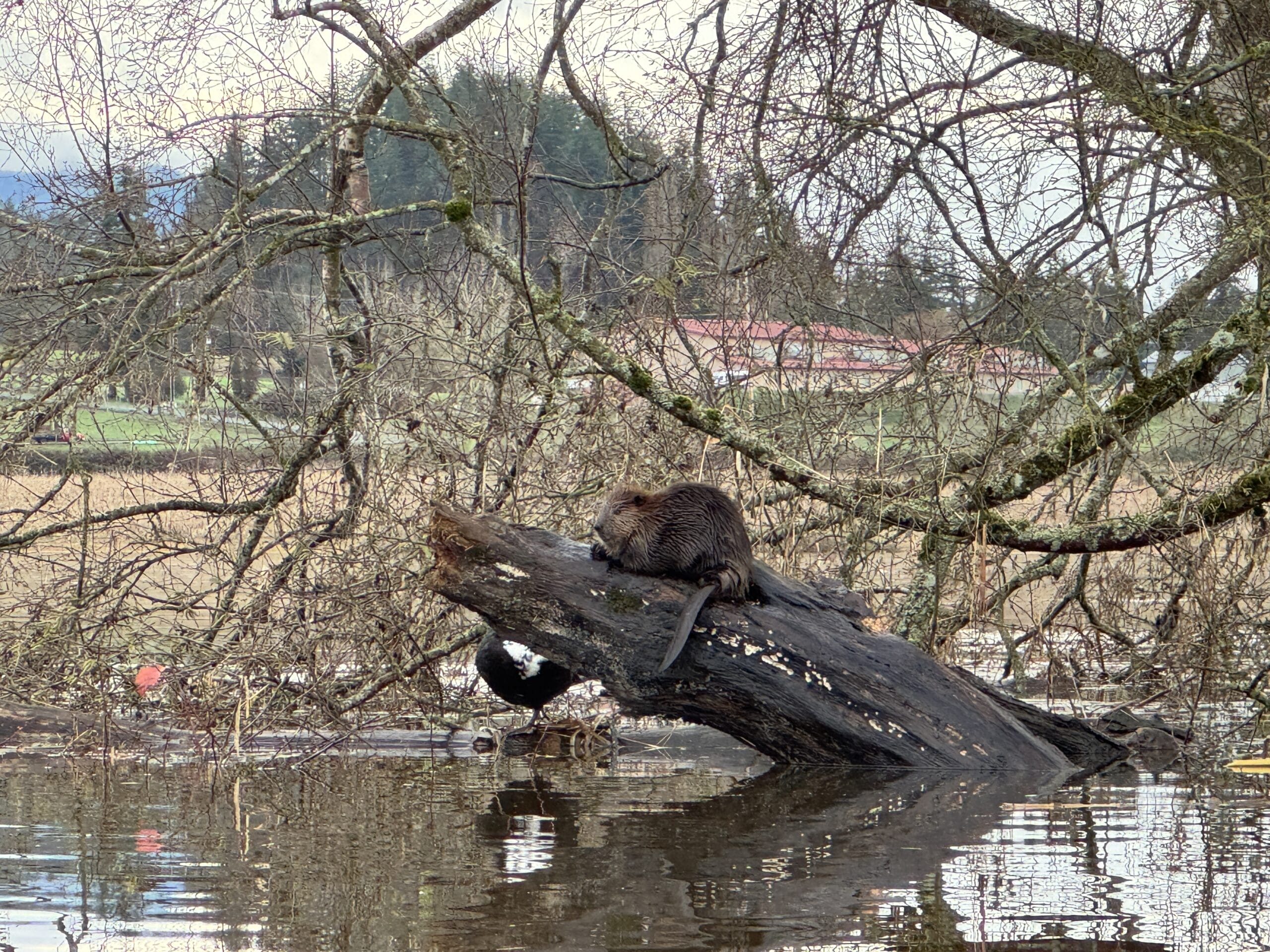
It is important to recognize how conserved lands also protect communities from flooding. By allowing rivers to behave naturally, protected areas slow floodwater by acting like sponges during heavy rain. Take Barney Lake wetland, for example. Located just east of Mount Vernon, this rich wetland (pictured above) relieves pressure on the river and nearby neighborhoods by giving surging floodwaters space to spread out and slow down – all while providing scenic, critical habitat for wintering waterfowl and wildlife.
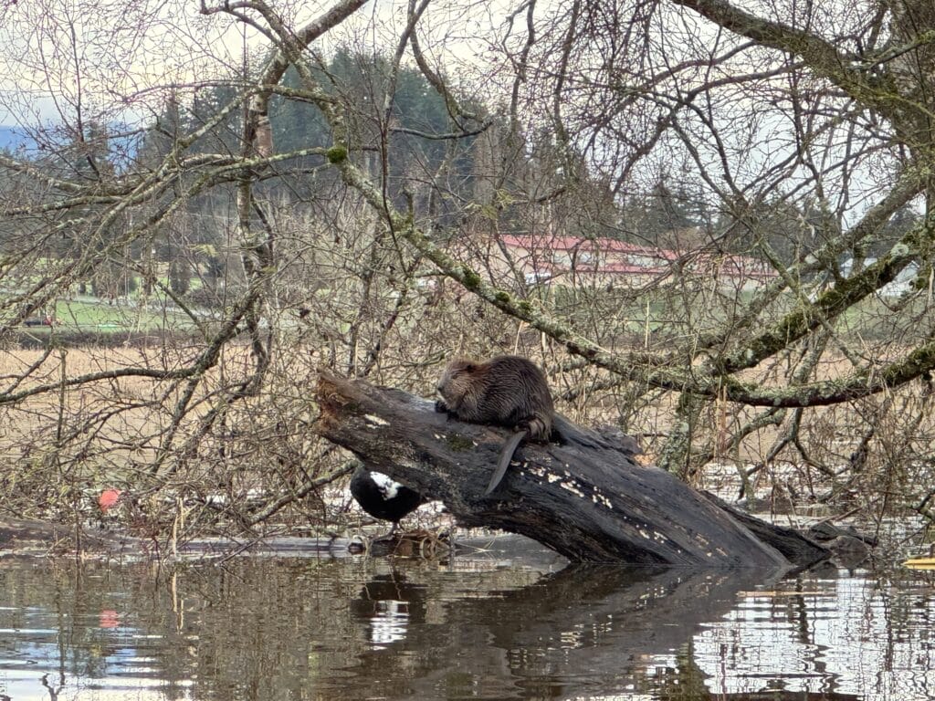
Heading north on 1-5, just past Cook Road, Butler Flats (pictured right) offers another safe place for floodwater to go. Conserved through a Trust-facilitated project in the early 2000s, this 139-acre property grows organic crops in summer. Come winter, it soaks up precipitation that might otherwise flow into rivers and on toward roads, homes, and businesses downstream.
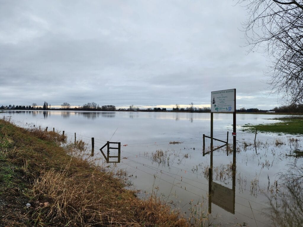
Protected areas further upriver also help to keep the flood-swollen Skagit River in check. Forested lands such as Skagit Land Trust’s Douglas Island (below left), Minkler Lake, Skiyou Slough, and Utopia conservation areas (below right) slow the force of falling rain and absorb it into the spongey forest floor, rather than letting it run off the way it would over compacted soil or pavement.
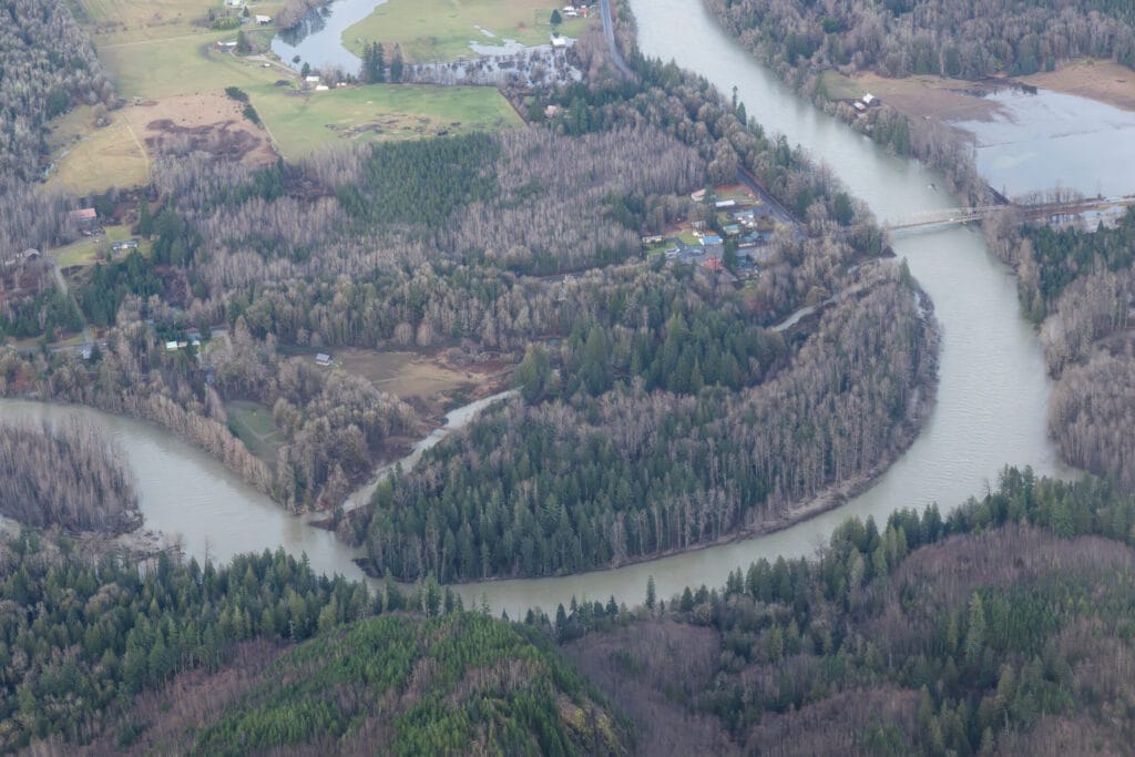

The two photos below show the flooding Skagit River near the Trust’s Skagit River Kahn Conservation Area. These images highlight the increasingly narrow buffers we face as climate change continues to leave its mark.


Climate scientists say that December’s atmospheric rivers and related damage offer a preview of greater flood events to come. This reality makes our work together even more urgent. Protecting places where natural processes can occur helps to create a safer living environment in an increasingly dynamic valley. Such processes save public dollars and create landscapes that work for both people and nature.
The 11,500 acres of land and 40 miles of river shoreline that Skagit Land Trust has helped conserve aren’t just scenic or good for wildlife – these areas also provide cost-effective, resilient infrastructure that helps prepare our communities for the changing climate ahead. Now more than ever, every foot of shoreline and every conserved acre matters. Thank you for your support!
Molly Doran, Executive Director, Skagit Land Trust